For partnership and business-related enquiries, please get in touch.
Seasons of Fiji – Denarau’s weather!
Within the two main yearly seasons of Fiji there are different microclimates. The most pronounced being the division between the Western ‘leeward’ side of Viti Levu, where Denarau and its main playgrounds are located, and the Eastern ‘weather’ side of Viti Levu.The main geographic weather patterns of 250 years ago still hold true today!
Fiji is a tropical country and, as such is always warm and inviting.
Which end of the temperature scale you enjoy during your visit largely depends on the season in which you come. There are two main seasons in Fiji. The wet season which runs from the months of November to May, and the dry season which runs from May to October. The wet season is hotter and more humid and is called summer. The dry season is cooler, but deliciously warm, and is of a dry heat. It is Fiji’s winter!
Within the two main yearly seasons of Fiji, there are different microclimates. The most pronounced being the division between the Western side of Viti Levu, where Denarau and its main playgrounds are located, and the Eastern side.
Here is an extract from the Hill Tribes of Fiji, a seminal book written by A. B. Brewster, (covering his time if Fiji from the 1870s and published in 1922) about Viti Levu, the main island upon which Denarau is located, which pretty much sums up its geography and weather patterns. Yes, the main geographic weather patterns of 250 years ago still hold true today!
“The interior of Viti Levu is broken and rugged, traversed by steep ranges of upheaved volcanic mountains, intersected by deep valleys, gorges and canyons, through which flow the head affluents of the Rewa, Navua, Singatoka and Mba Rivers. The first three discharge themselves on the southern coast, and the latter on the northern. There are besides hundreds of minor streams. The island has this peculiarity: all along the northern and north-western coasts there are short plains nowhere over ten miles in length between the sea and the foothills. Then the mountains rise sheer to about 2000 feet, when a short plateau intervenes, and we come to the main range, which culminates at Tomanivei, or Mount Victoria, 4550 feet above the sea. From thence, as the crow flies, there are about fifty miles of undulating country, until the sea is reached on the southern coast. These long slopes catch all the moisture brought up from the Pacific by the S.E. trades. They form the weather side of the island, and account for the heavy rainfall there, which fills the long, navigable southern rivers. The clouds spend themselves before they cross Mount Victoria, and from thence to the northern beaches is the lee and dry side of Viti Levu. The distance thither is only some fifteen miles in a direct line. Consequently, the northern rivers are but short, fierce and angry when fed by the frequent thunderstorms of the wet season.”
Denarau Island lies on the western half of Viti Levu and, as such, the leeward or calm side of the island. It enjoys warm clear dry winters making it an excellent location for a winter holiday for our more temperate neighbours of Australia and New Zealand.
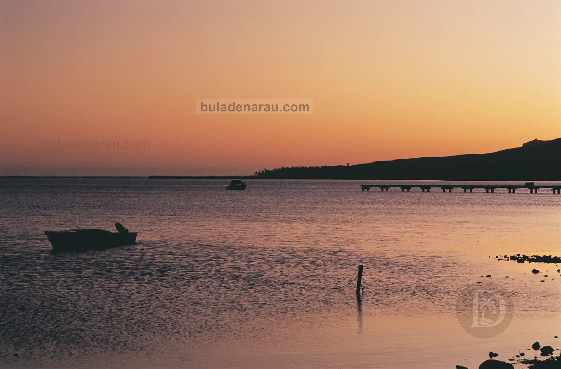
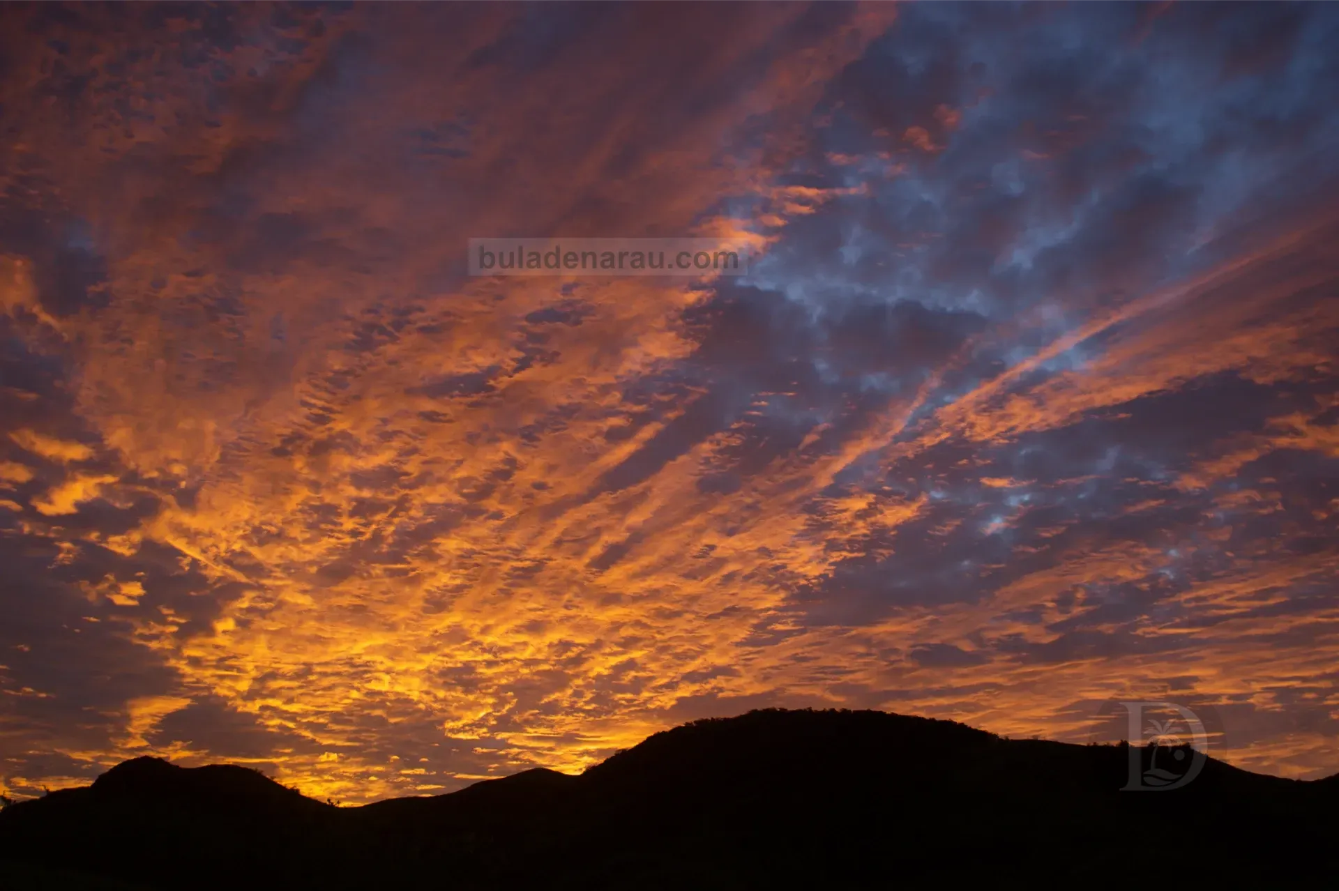
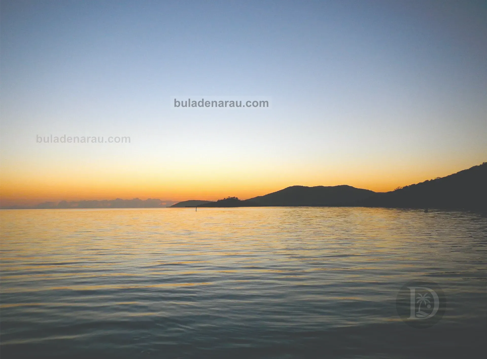
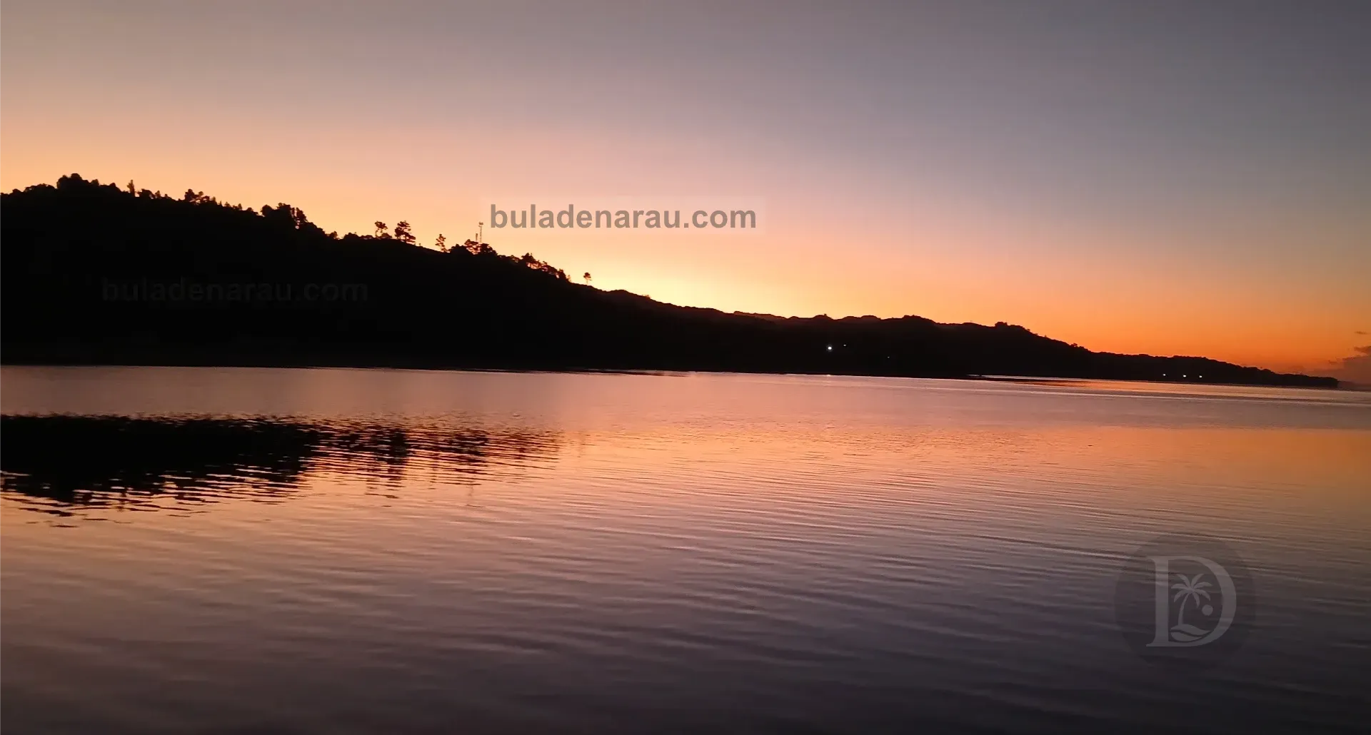
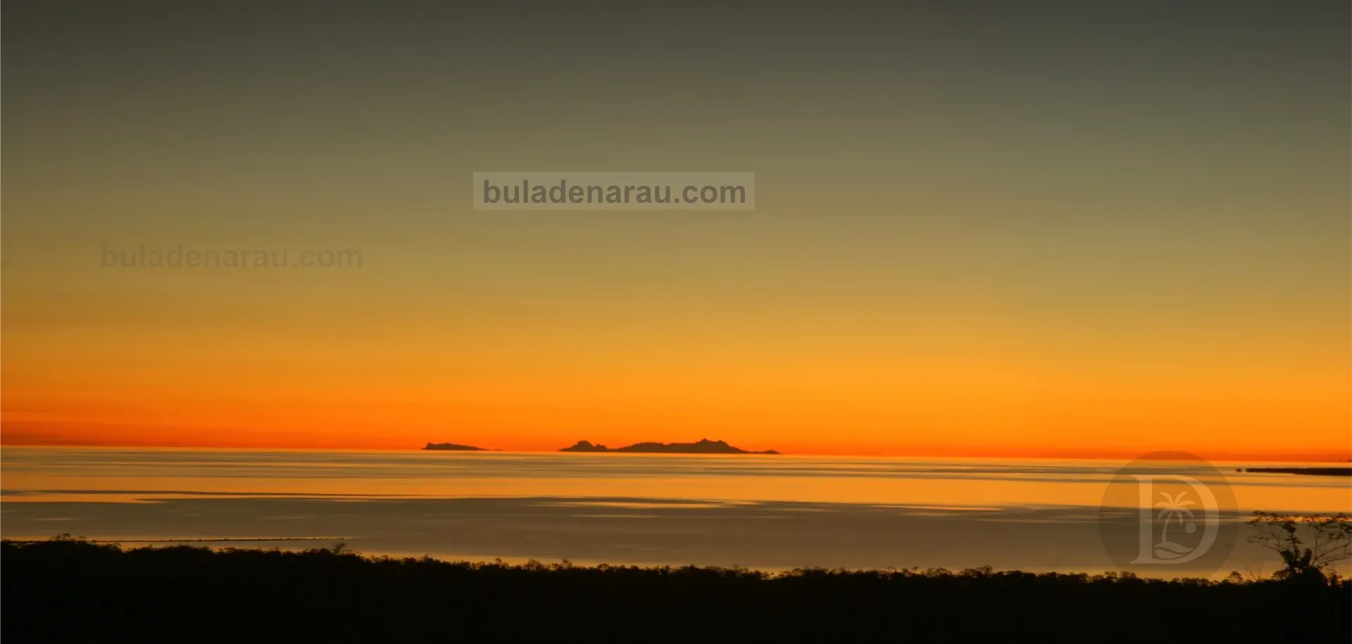
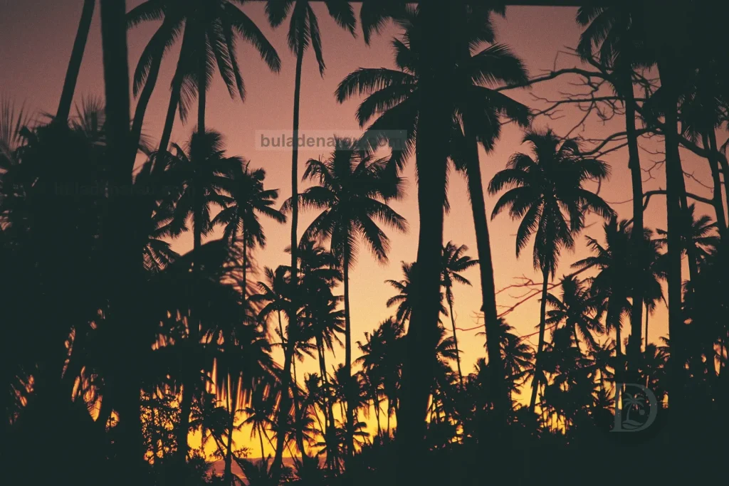
The wet season can bring about heavy tropical rainfall, but each day is different, and the softer hues of light in summer make for some stunning vistas, including sunrises and sunsets, which, while awesome all year round, assume a slightly different perspective in summer.
In emergencies or cases of bad weather, the best place to check for infomation, warnings, and updates is the Fiji Meteorological Office website.